Why Location Intelligence is Becoming Critical for Emergency Response and Security Operations
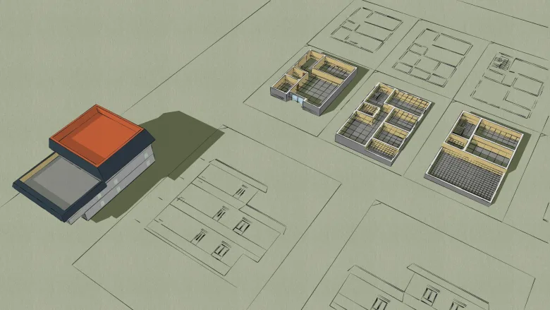
A few months ago I sat in on a tabletop exercise at a stadium. Fire, police and venue security were all in the room. The scenario was an active shooter. The team ran it well, right up until everyone realized the entire response had been planned off an outdoor online map of the building exterior. The fire truck staging location conflicted with a loading dock entrance. Officers were routed through a gate on the wrong side of the venue. Nobody had mapped the suite-level interior layout. The designated shooter’s last known location was mapped as being in the center of the building, when in fact it was in a corner room directly over the loading dock where the Fire team was positioned (called a hot zone). The people in that room were experienced and prepared, yet the biggest gap was indoor intelligence.
That exercise captures a problem I see across stadiums, hospitals, airports and university campuses. Security teams and first responders know that something happened and what kind of incident happened. What they frequently don’t know fast enough is where exactly it happened, what’s near it, and how to get there quickly.
Detection Without Location Doesn’t Work
Most facilities have invested heavily in detection. VMS captures video. Access control logs door events. Intrusion sensors monitor zones. Fire panels report alarms.
These systems generate alerts reliably. The problem starts after the alert.
A camera ID isn't a location. A sensor zone labeled “Zone 7-B” doesn’t tell a responding officer which corridor it’s in, what floor it’s on, or whether the nearest stairwell is fifty feet away or five hundred. Security operators bridge this gap every day through institutional knowledge, radio calls and experience. That works until shifts rotate, people change roles, or a new responder arrives at a campus with forty buildings and no familiarity with any of them.
Location Changes Everything About Response
When an alarm triggers and the operator can see the event pinned to a specific room on a live 3D indoor map, the response changes fundamentally. They can see which cameras are nearest and pull those feeds immediately. They can check whether the area is near a utility shut-off, a fire alarm control panel, or hazardous material storage.
When a guard gets dispatched, they receive turn-by-turn directions to the exact location on their mobile device. Not a floor number and a wing designation. An actual route with stairwells and elevators they may have never used before. When outside responders arrive, they can access the same map before they walk through the door: entry and egress points, fire department connection locations, hydrant positions, lockbox numbers, interior room layouts, all available on a phone or tablet, shared in seconds.
This is what location intelligence does for emergency response. It eliminates the translation step between “an alert triggered” and “here’s exactly where it is and how to reach it.”
Bridging the Pre-Planning Gap
Effective emergency response starts long before an incident. In practice, most pre-plans are at best PDF floor plans on a shared drive and at worst printed binders with CAD drawings that haven’t been updated since the building was constructed.
A police department in Pennsylvania recently described their goal simply: they’re working with local businesses, churches, and schools to create emergency response plans, and the ability to create accurate interior maps would be extremely helpful. A fire department in Europe wanted to digitalize building maps across their response area to support training and live response. These requests reflect a basic need that hasn’t been met at scale yet. Static documents don’t cut it when seconds matter.
Digital indoor maps make pre-plans interactive, searchable and shareable. A fire captain reviewing a large campus building can zoom into a specific wing and see where the FDC points, standpipes and utility shut-offs are. When the call comes, that same map is on the crew’s tablets during the response.
The Coordination Problem
Large-scale incidents involve multiple agencies: campus police, municipal law enforcement, fire, EMS, facilities management. Each group brings its own communications, its own chain of command, and its own understanding of the facility. Without a shared location reference, radio calls include directions like “the hallway past the cafeteria, make a right, second door on the left.” That works when everyone knows the building. It fails when three agencies are operating in a 400,000-square-foot hospital they’ve never been inside.
A shared digital indoor map gives every responding agency the same picture and the same understanding of where things are.
What’s Actually Changing
The U.S. Department of Homeland Security Science & Technology Directorate has recognized indoor mapping as one of the essential technologies needed by emergency managers and first responders. Fire departments are requesting digital mapping tools to replace paper-based pre-incident surveys. Security teams at major commercial properties are integrating indoor maps with VMS and access control so every alert carries location context.
A global retail property operator recently centralized five suites of security services across their portfolio, with indoor mapping as the foundational intelligence layer connecting those previously siloed technologies. They described it as “uniquely impactful to our operations,” specifically solving the challenge of bridging disconnected systems and giving virtualized security teams the location context they needed to monitor properties remotely. It sits alongside existing systems without replacing them.
Are your buildings mapped for location intelligence?
Every security director reading this has a technology stack to maintain. Most have response procedures. Many have pre-plans. But how many can answer this: if an incident happens right now, can every operator, every guard, and every responding agency see exactly where it is on an accurate indoor map and route to it in seconds?
If the answer is no, you need to start implementing location intelligence. It’s not just a map anymore.
Looking for a reprint of this article?
From high-res PDFs to custom plaques, order your copy today!