This website requires certain cookies to work and uses other cookies to help you have the best experience. By visiting this website, certain cookies have already been set, which you may delete and block. By closing this message or continuing to use our site, you agree to the use of cookies. Visit our updated privacy and cookie policy to learn more.
This Website Uses Cookies By closing this message or continuing to use our site, you agree to our cookie policy. Learn MoreThis website requires certain cookies to work and uses other cookies to help you have the best experience. By visiting this website, certain cookies have already been set, which you may delete and block. By closing this message or continuing to use our site, you agree to the use of cookies. Visit our updated privacy and cookie policy to learn more.
As climate change causes sea levels to rise, Florida communities can benefit from LiDAR mapping to predict storm surges and flood risk, aiding severe weather and disaster preparedness.
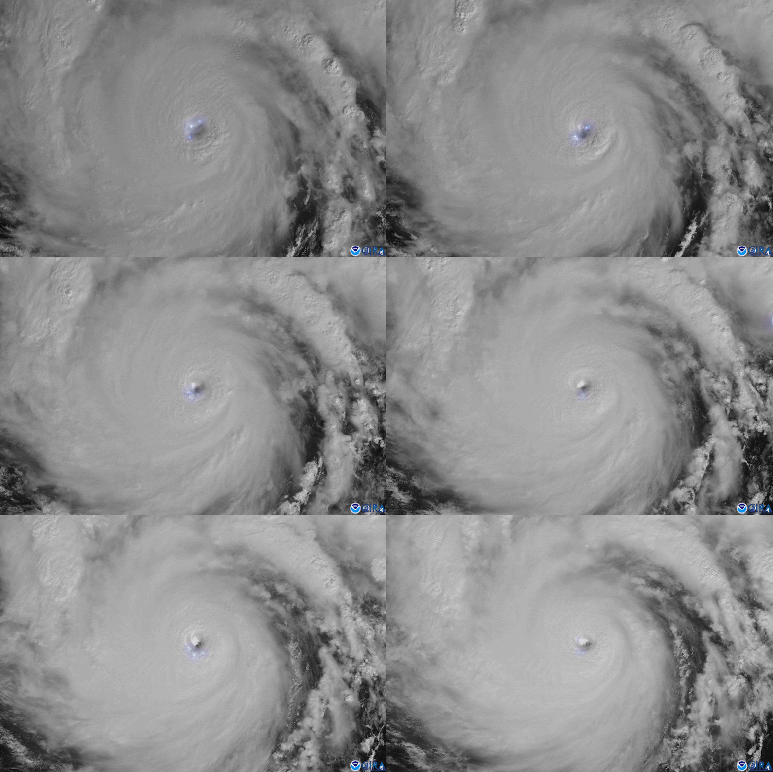
With less than a month remaining in the Atlantic hurricane season, the formation of Subtropical Storm Theta on November 10 and hurricane Iota made the 2020 season the most active on record.
NOAA’s Satellite and Information Service (NESDIS) has signed an agreement with Google to explore the benefits of Artificial Intelligence (AI) and Machine Learning (ML) for enhancing NOAA’s use of satellite and environmental data.
An above-normal 2020 Atlantic hurricane season is expected, according to forecasters with NOAA’s Climate Prediction Center, a division of the National Weather Service.