Advanced Surveillance Technology Used Near U.S.-Mexico Border
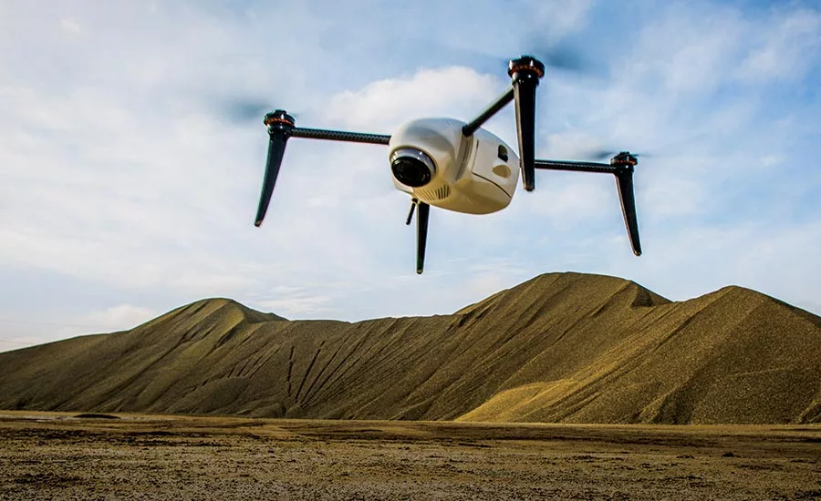
In southwestern communities near the U.S.-Mexico border, there were nearly 230 instances of local police deploying advanced technology: facial-recognition software, cellphone-tracking “sting ray” towers, real-time crime centers, license-plate cameras, gunshot-detecting acoustic-surveillance devices, drones and spy planes, says a news report.
The devices reveal where people travel, as well as whom they call, text and visit and can also identify people without their knowledge or consent, says the report. The findings are based on research from the University of Nevada, Reno's Reynolds School of Journalism, created by students and professor Gi Woong Yun, in a collaboration with Dave Maass, a principal investigator at Electronic Frontier Foundation (EFF), to create the “Atlas of Surveillance”: a map of surveillance technology used by police departments along the sourthwestern border communities.
To learn more, visit EFF's website.
Looking for a reprint of this article?
From high-res PDFs to custom plaques, order your copy today!